WEATHERHOOD
FOR BUSINESS
+ GOVERNMENT
TRANSPORTATION
INDUSTRY
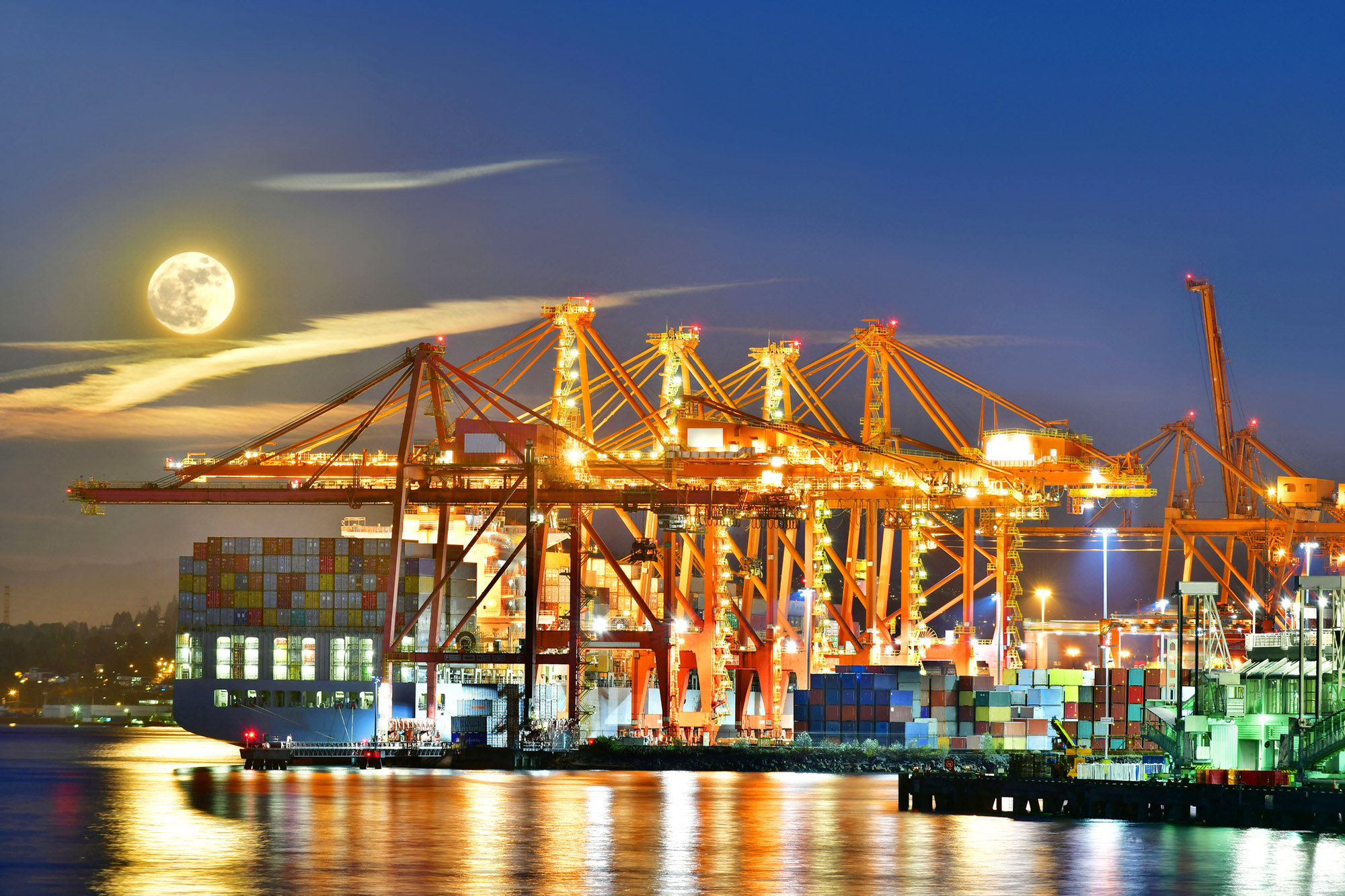
Hyperlocal weather data empowers transportation companies to make informed decisions that enhance safety, optimize operations and improve overall efficiency. With real-time insights into localized weather conditions, you can proactively address weather-related risks, adjust travel schedules and reroute vehicles to ensure passenger and driver safety. By harnessing the power of hyperlocal weather data, you can unlock a new level of operational excellence and deliver reliable, efficient, and customer-centric services.
The benefits of using hyperlocal weather data for the transportation industry include:
Enhanced Safety
With access to accurate and detailed weather conditions and forecasts specific to their routes, transport operators can make informed decisions, such as adjusting travel schedules, rerouting vehicles, or implementing precautionary measures to ensure load and driver safety.
Operational Efficiency
With real-time insights into local weather conditions, you can anticipate and mitigate weather-related disruptions, such as heavy rain, snowstorms, or heat enabling efficient resource allocation, route planning, and scheduling adjustments, resulting in improved performance and satisfaction.
Resource Management
Accurate forecasts enable better planning for fuel consumption, maintenance, and staffing requirements, resulting in cost savings and streamlined operations. Increase sustainable business practices by understanding weather patterns to increase efficiency and sustainability.
Weatherhood’s detailed weather forecasts and information enhances decision-makers’ ability to accurately assess and respond to situations unfolding on the ground. By making informed decisions, anticipating weather-related disruptions, and optimizing resource allocation, companies can achieve new highs in performance and customer satisfaction.
REGIONIAL + MUNICIPAL
GOVERNMENTS
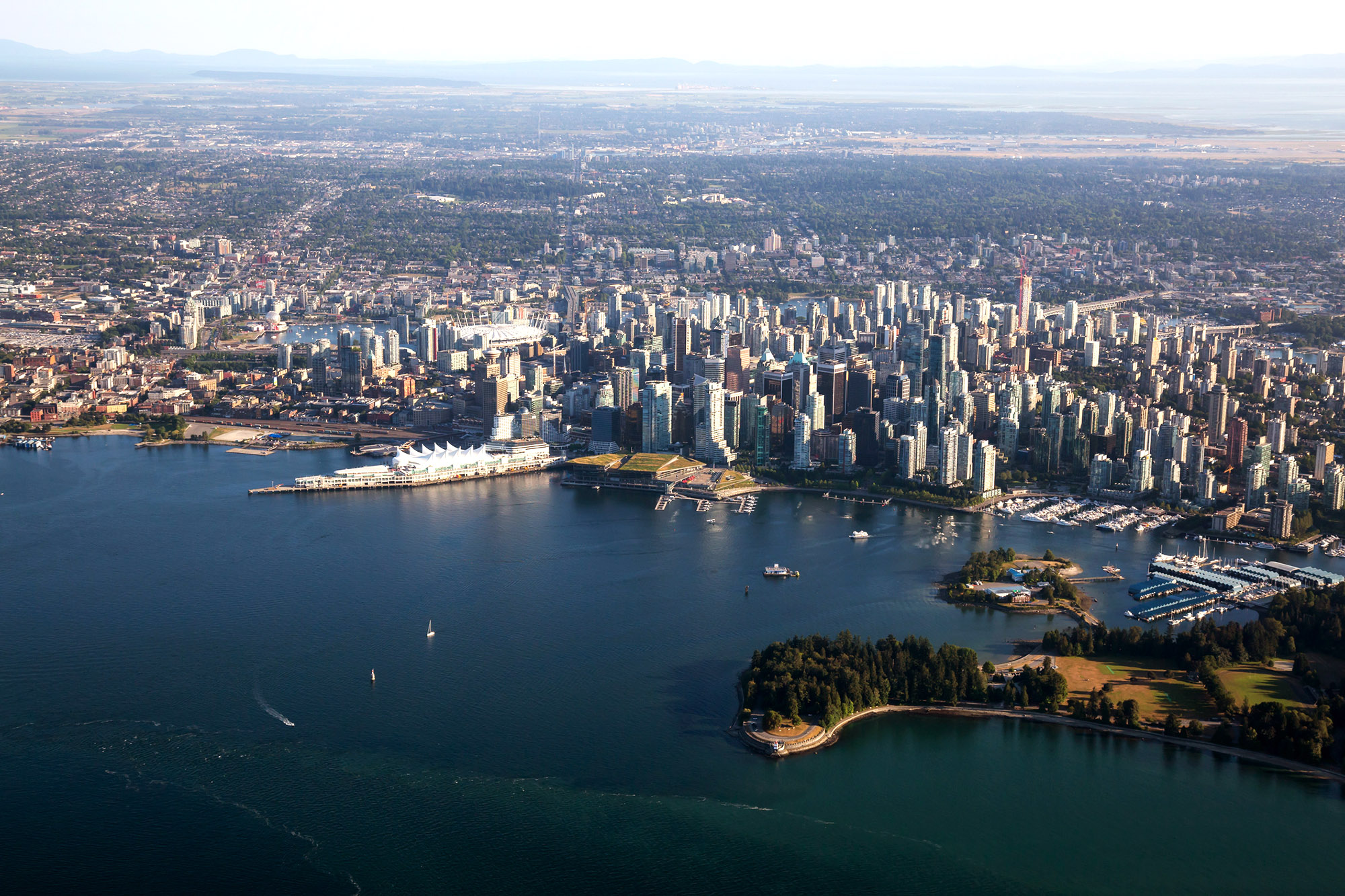
Hyperlocal weather and climate networks bring significant value and opportunities for geographic assessments, civic planning, and civic and regional government operations. Real-time, accurate weather information can help decision makers and staff members can understand and respond to the impact of weather on their communities and regions. Let’s talk about your smart city weather and climate network today.

Governments can use hyperlocal weather data to improve many aspects of city planning, infrastructure, and public services including:
Public Safety
Improve emergency preparedness and response by utilizing real-time hyperlocal weather data to anticipate better and manage risks associated with severe weather events, such as floods, heatwaves, and storms. Pair public service announcements and information with weather-triggered advertising.
Transportation
Enhance vehicle management by adjusting traffic signals, rerouting traffic, or deploying resources during extreme weather events. Additionally, hyperlocal weather data can help public transportation systems better prepare for service disruptions and optimize transit schedules based on weather conditions.
Urban Planning
Integrate hyper-local weather data into city planning processes to create more resilient and sustainable communities. This can include designing green infrastructure, such as urban forests and green roofs, to mitigate the urban heat island effect or incorporating flood management strategies.
City Services
Improve the efficiency of weather-dependent services, such as snow removal or street cleaning, by better predicting when and where resources will be needed. Equip facitilities and maintenance teams with the information they need to manage landscaping, public services, and facilities operations.
Agriculture
Support urban farming initiatives by providing detailed weather information to help farmers make more informed decisions about planting, irrigation, and pest management.
Healthcare
Plan, monitor, and address air quality and heat-related health issues, such as heatstroke, and respiratory problems, by providing strategic plans, public alerts, and targeted interventions in areas with elevated risks.
Tourism
Enhance visitor experiences by providing real-time weather information for local attractions and outdoor activities, allowing tourists to make better-informed decisions about their plans.
Education
Increase public awareness of weather and climate change and its impacts on local communities by sharing hyperlocal weather data through public-facing platforms and educational programs.
Governments and municipalities can make more informed decisions, allocate resources more effectively, and ultimately create safer, healthier, and more resilient communities. Weatherhood provides smart city climate and weather networks in North America.
KEY Benefits For
GOVERNMENT
Governments’ most important work sometimes takes years of planning and other times is vital to deploy in minutes. Hyperlocal weather data provides significant value across government portfolios from strategic planning to operations. Real-time, accurate weather information can help your staff to better understand and manage exposure to weather-related risks and improve their decision-making and operations.
For civic and regional governments there are many oppportunities where a smart city climate network to provide unique benefits including:
Enhance Planning
The information you need to prepare for the impacts of weather events, right at your fingertips. Accurate information can help governments and other organizations identify areas at risk, allocate resources more effectively, and take steps to protect communities.
Disaster Response
Position yourself to effectively respond to weather-related disasters. With real-time weather information, decision-makers can assess the extent of damage caused by a weather event and allocate resources more quickly to those in need.
Increase Efficiencies
By using hyperlocal weather data, decision-makers can make more informed decisions and allocate resources more effectively, leading to increased efficiency and cost savings. This can help with staffing and energy management across locations.
Improved Environment
Providing decision-makers with relevant information about the impact of weather events on the environment can help support sustainability efforts. Take steps to protect and preserve our communities with accurate weather and climate data.
Prepare for what lies ahead, make strategic decisions and build a future-ready environment with Weatherhood’s comprehensive weather insights. Together, let’s create a more resilient future for our communities.
THE INSURANCE
INDUSTRY
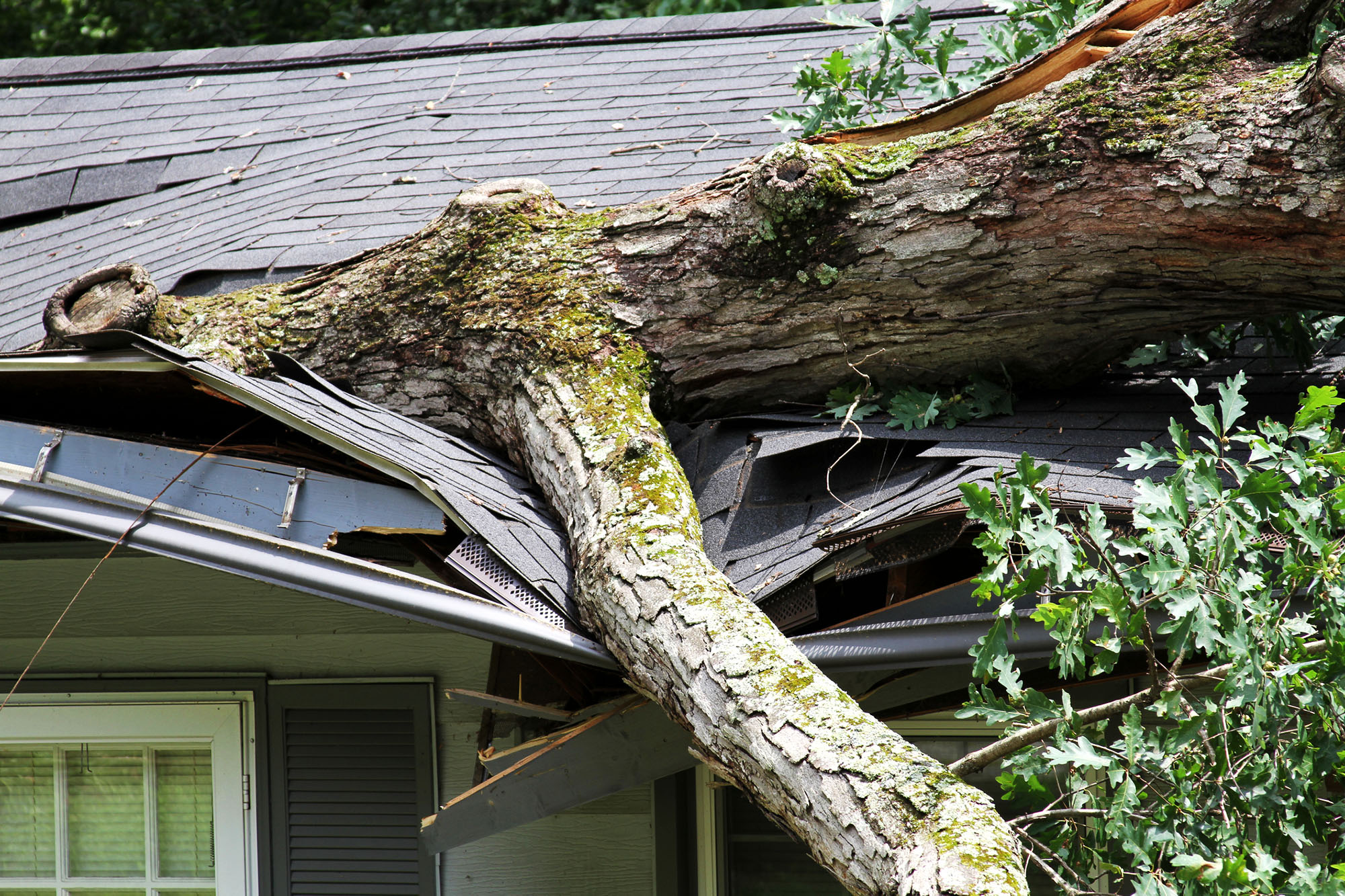
Hyperlocal weather data can bring significant value and opportunities to the insurance industry. Using real-time, accurate weather information can help insurance companies better understand and manage their exposure to weather-related risks and improve their underwriting, pricing, and claims processes.
Here are some key ways that our hyperlocal weather information can provide an edge:
Improved Risk Assessment
Gain a better understanding of the risks posed by weather events such as snowstorms, floods and extreme heat. Use this information to help decide which areas and properties to insure and how much to charge for coverage.
Policy Pricing
Develop more accurate and granular pricing models with the help of hyperlocal weather data. For example, insurance companies can use historical weather data to determine the likelihood of flooding in a specific location and then price policies accordingly.
Faster Claims Processing
Streamline claims processing with real-time weather information, ensuring swift and precise assessments. Promptly make informed decisions about claims payments, reducing delays and improving customer satisfaction.
Enhanced Customer Experience
Provide your customers with more relevant and accurate information about risks and how to prepare for severe weather events. Customers are always looking for more useful information from their insurer. Offer something competitors cannot.
Weatherhood’s hyperlocal weather data provides valuable insights and opportunities for insurance companies to improve operations, better understand and manage risks, and enhance customer experiences.
REAL ESTATE
+ DEVELOPMENT
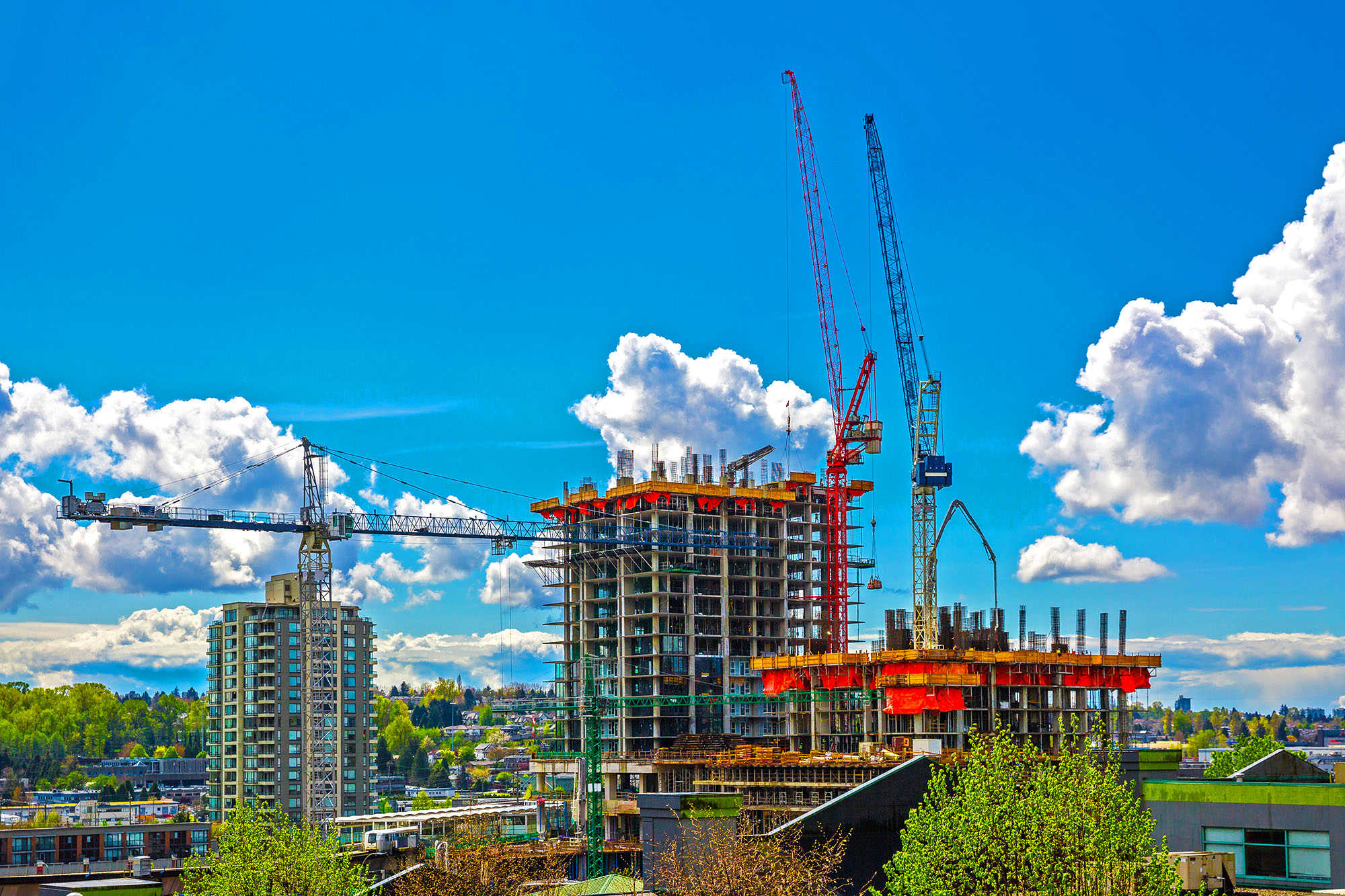
Whether in a real estate project’s planning, building, sales, management, or transitional phase, having the most accurate weather and climate information means much higher potential returns, better-built phase opportunities, and unique benefits that can’t be found elsewhere. Real-time weather information empowers development companies to understand and mitigate weather-related risks, optimize decision-making and enhance operations.
From informed site selection and construction scheduling to proactive property management, real-time weather data ensures better risk assessment, project planning and optimal property conditions. Unleash the power of real-time weather data and transform your real estate ventures.
The benefits of using hyperlocal weather data for real estate include the following:
Selection
Gain the ability to more accurately assess the likelihood of certain weather events occurring in a specific location and their potential impact on a property.
Pricing
Real estate companies can use hyperlocal weather and climate data to assess the likelihood of certain weather events in a specific location and then market, sell, and price, accordingly.
Marketing
Promote the benefits of living in locations with ideal weather conditions, highlighting the enjoyment it brings and emphasizing the property’s protective measures.
Efficiency
Companies can optimize location selection, build operations, property management, and building environmental systems by including weather sensors in build out.
Weatherhood’s Hyperlocal weather data provides valuable insights and opportunities for real estate companies to better understand and manage their exposure to weather-related risks, improve their decision-making and operations, and increase efficiency.
WEATHERHOOD;
BETTER DATA MEANS BETTER DECISIONS
Whether you are considering a single station at a significant site or an array of sensors to monitor civic air quality, our team of experts worldwide and in Vancouver, BC, are excited to provide expertise and leadership in smart city weather and climate networks and data.
Interested in Hosting a Station?
Become a vital node in our weather network by helping to provide precise, neighbourhood-specific forecasts for your community. Connect with us today to find out how.
Why Sponsor weatherhood?
Elevate your brand with Weatherhood's sponsorship opportunities. As a sponsor, you gain exclusive access to a highly engaged audience seeking accurate and personalized weather information. Showcase your brand alongside the trusted Weatherhood platform and captivate your target market.
The Only
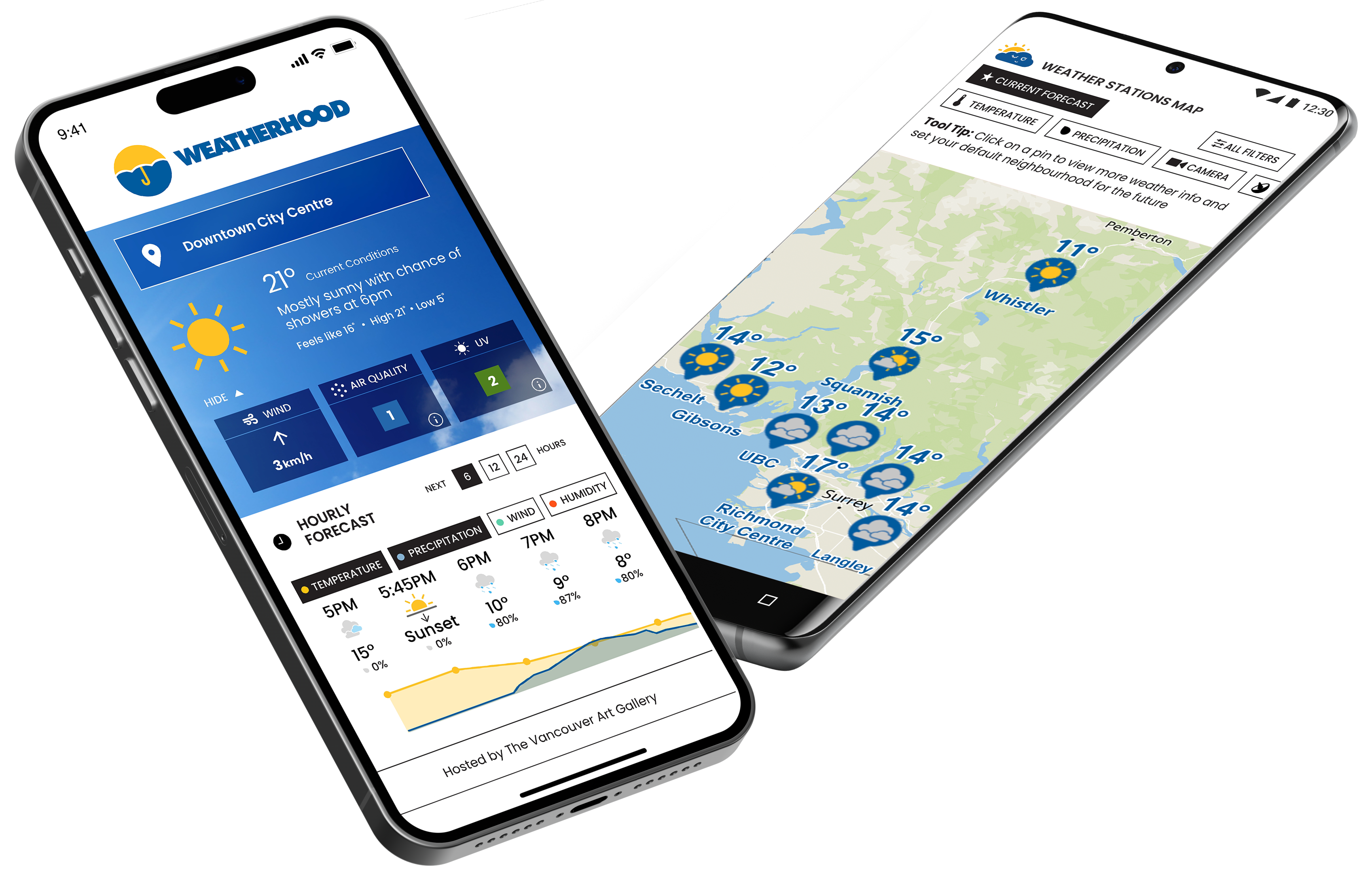
Hyperlocal Weather App
Experience the Lower Mainland's #1 most accurate weather app. Download the app to find your weatherhood.
Questions About Weatherhood for business & government
The Network
Advertising
Business & Government
Media
Contact Us
PHONE
604.608.5112